Getting Around Cusco
Cusco is a compact, high-altitude city where the historic centre is walked, the ruins above it are reached by road, and the Sacred Valley and Machu Picchu are reached by bus, train or a booked day tour. This guide sets out what official sources say about each of those layers.
Short answer
Getting around Cusco is mostly on foot: the historic centre is compact and steep, the airport is about 6 km away with taxis reported at about S/ 15 to 25 to the centre, and the four ruins above the city, the Sacred Valley and Machu Picchu are reached by road or by train from the Poroy and San Pedro stations.
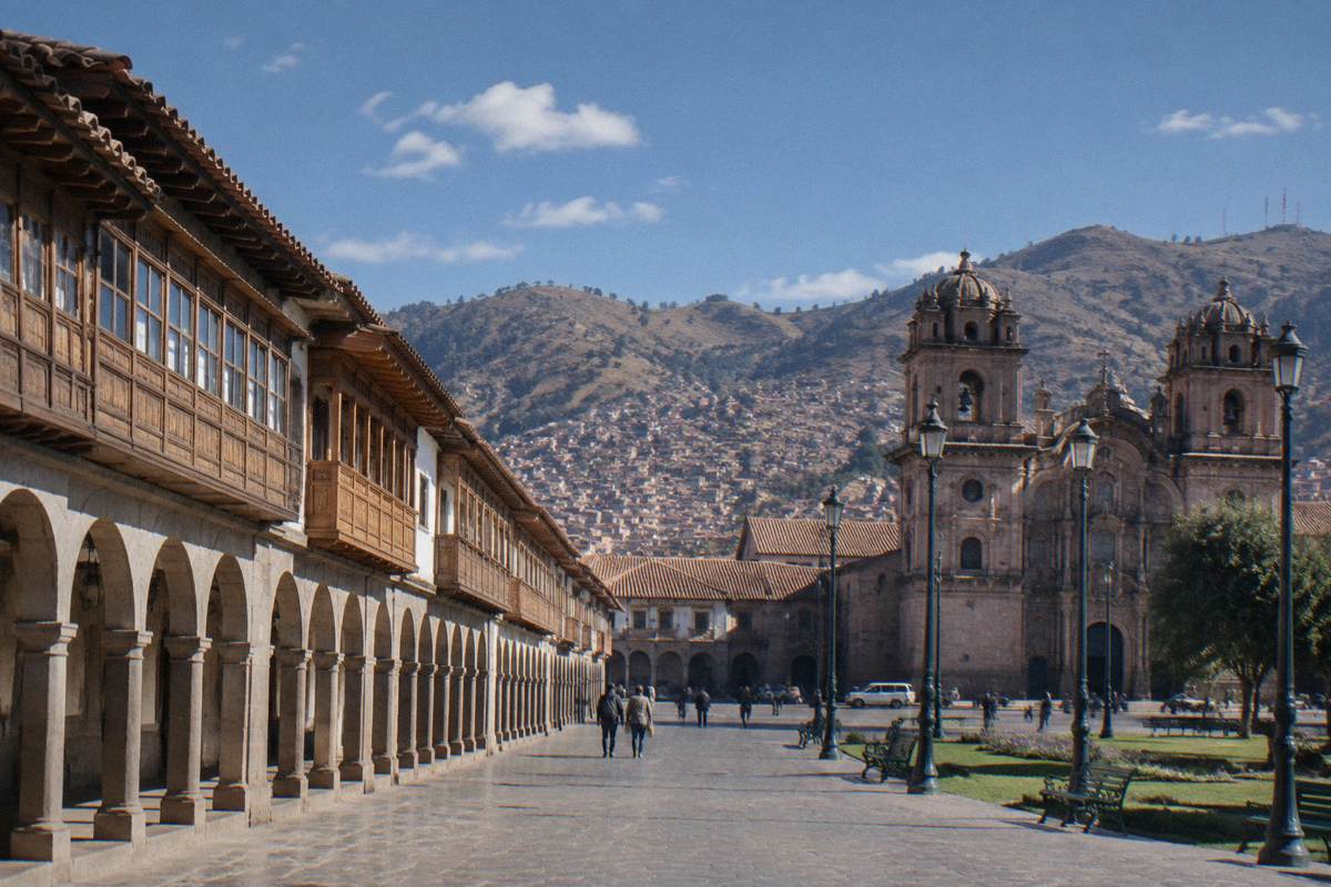
Cusco is a city built for walking and a region built for riding. The historic centre, a UNESCO World Heritage listed area since 1983, packs colonial churches, Inca walls and markets into a grid of steep stone streets that sits at 3,335 m around the Plaza de Armas, according to PromPeru. Everything beyond that core, the ruins on the ridge above, the Sacred Valley towns of Pisac, Urubamba and Ollantaytambo, and the train line to Machu Picchu, runs on taxis, buses, vans and two rail operators. This guide reports what official and operator sources say about each layer of getting around, from the airport kerb to the platform at Aguas Calientes.
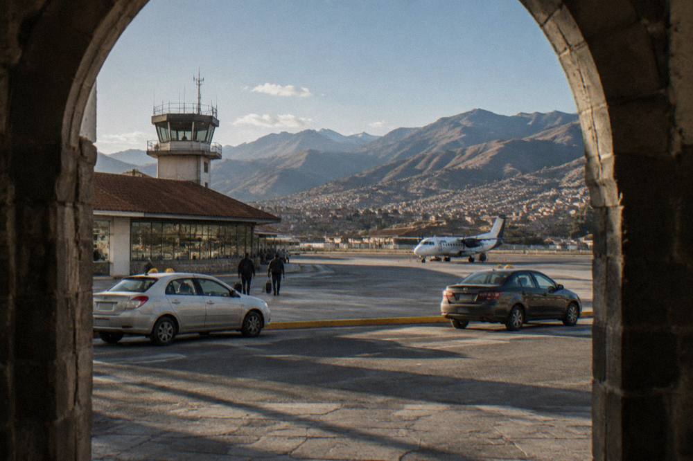
The practical starting point for most itineraries is arrival: every flight into the Cusco region lands at Alejandro Velasco Astete International Airport, and the first decision is how to cover the short distance into town. The deeper pages on Cusco airport logistics and on where to stay in Cusco cover those choices in detail; this page keeps the transport layer in one place.
How Do You Get From Cusco Airport To The City Centre?
Alejandro Velasco Astete International Airport sits about 6 km from the Plaza de Armas, and a taxi covers the distance in about 15 to 20 minutes, with the fare reported at about S/ 15 to 25 for the run into the centre. PromPeru gives both the distance and the taxi time, and the fare range is a secondary figure, agreed with the driver or the counter before the ride.
The airport itself sits at 3,310 m per the OpenStreetMap record for its perimeter, so the altitude question begins at the arrivals hall rather than in the city. PromPeru describes the airport as the gateway to the historic centre, and the flight from Lima takes about 1 hour 15 minutes, while the bus alternative from Lima runs about 21 to 26 hours. International visitors usually connect through Lima; no nonstop service from the United States appears in the schedules the research behind this site checked, so the Lima connection is the normal path.
Three arrival options exist. A taxi from the airport forecourt, with the fare agreed before the ride. A hotel-arranged transfer, which many central hotels offer. Or a pre-booked private transfer, which fixes the first leg before landing and is the option this site's featured transfer product covers: Check availability for the private airport transfer to centrally located hotels.
To have the first leg waiting when you land, book a private airport transfer here.
| Airport fact | Figure | Source |
|---|---|---|
| Airport | Alejandro Velasco Astete International | PromPeru |
| Distance to Plaza de Armas | About 6 km | PromPeru |
| Taxi time to the centre | 15 to 20 minutes | PromPeru |
| Airport elevation | 3,310 m | OpenStreetMap record |
| Plaza de Armas elevation | 3,335 m | PromPeru |
| Lima to Cusco flight | About 1 h 15 | PromPeru |
| Lima to Cusco by bus | About 21 to 26 hours | PromPeru |
One point worth knowing that a first page of search results rarely carries: the new Chinchero airport under construction north of the city is not operating. Reported progress stood at about 38.9 percent in mid-2026, with completion targeted for 2028 and flights expected in 2028 to 2029. Every Cusco flight, for now and for the next couple of years, uses Velasco Astete.
Is Cusco A City You Can Walk Around?
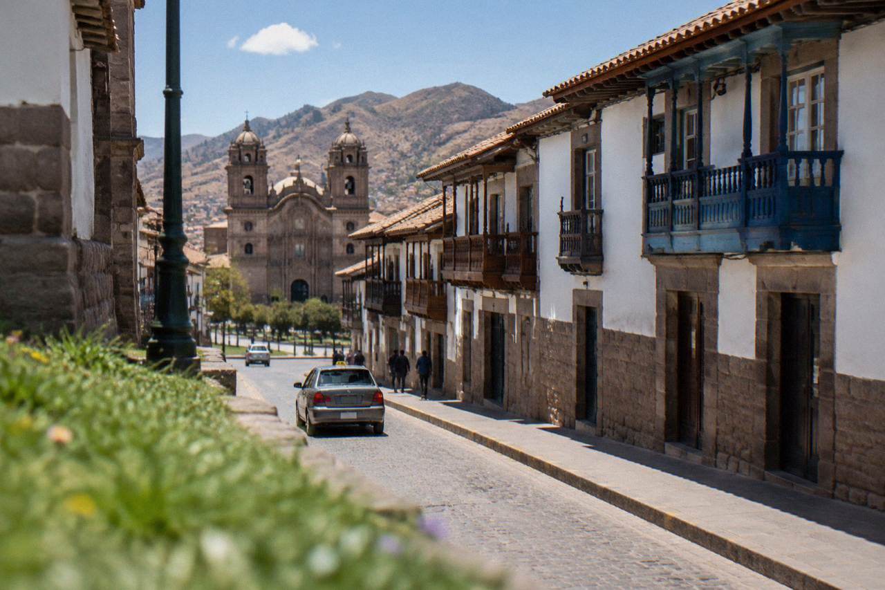
Yes, and walking is the main way of getting around the historic centre: the Plaza de Armas, San Blas, San Pedro Market and the Inca walls of Hatunrumiyoc all sit within a compact, steep grid at about 3,300 to 3,400 m, where a flat ten-minute block elsewhere can feel like real exercise at this altitude. The centre is genuinely walkable, but the hills and the elevation change the pace.
The city's own geography makes the case. PromPeru's city-tour material for the historic centre lists the Cathedral, Qorikancha and the surrounding colonial blocks as a walking circuit, and the twelve-angled stone sits on Hatunrumiyoc street a short walk from the Plaza de Armas. The San Blas district climbs above the centre as a cluster of artisan studios and viewpoints, and the centro historico page maps the walking territory street by street.
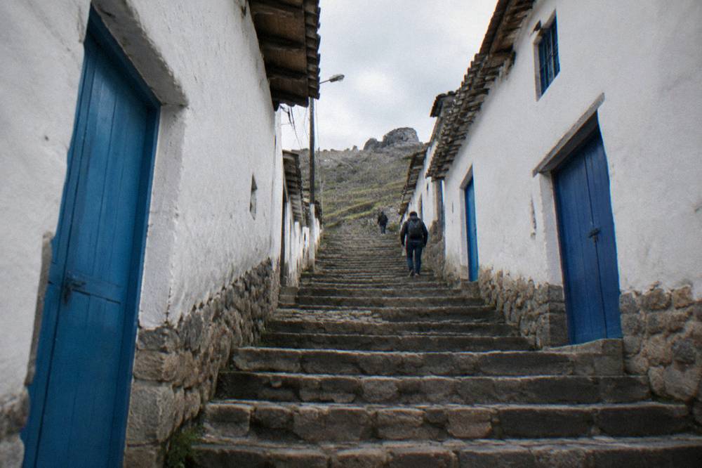
Altitude is the honest caveat on every walking plan. The CDC Yellow Book names Cusco, at approximately 3,350 m, as a rapid-ascent destination and prefers graded ascent where it is feasible; the CDC also notes that in some cases travellers can descend to lower elevations to sleep for a night or two before beginning their ascent. The Cusco altitude page carries the full health picture. Nobody publishes a day count for acclimatisation, but the CDC's practical line is to avoid alcohol for the first 48 hours at high altitude and to consider acetazolamide as a decision made with a doctor.
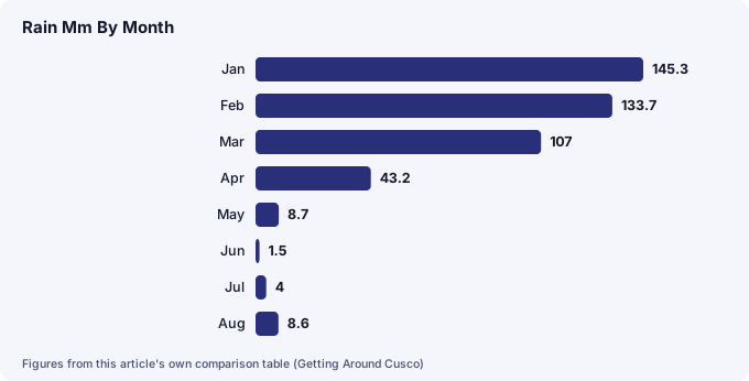
Weather shapes walking comfort more than visitors expect, because the seasons are inverted relative to the northern hemisphere. At the WMO/SENAMHI "Cuzco" station, a historical normal, December to March delivers 71.9 percent of the year's 707.8 mm of rain, while May to August together bring just 22.8 mm. Mean daily maximums stay between 18.8 and 20.9 C all year, but the July mean minimum is 0.1 C, so a dry-season walking day starts near frost and ends in sunshine. The Cusco weather by month guide carries the full table.
| Month | Mean max C | Mean min C | Rain mm |
|---|---|---|---|
| Jan | 18.9 | 6.6 | 145.3 |
| Feb | 18.8 | 6.5 | 133.7 |
| Mar | 19.1 | 6.2 | 107.0 |
| Apr | 19.7 | 4.9 | 43.2 |
| May | 19.8 | 2.5 | 8.7 |
| Jun | 19.5 | 0.3 | 1.5 |
| Jul | 19.1 | 0.1 | 4.0 |
| Aug | 19.8 | 1.6 | 8.6 |
| Sep | 19.8 | 3.9 | 21.8 |
| Oct | 20.9 | 5.5 | 39.4 |
| Nov | 20.7 | 6.1 | 71.9 |
| Dec | 19.4 | 6.4 | 122.7 |
Source: WMO World Weather Information Service, station "Cuzco", data supplied by SENAMHI, a historical normal.
For a guided introduction to the city that handles the route-finding for you, GuruWalk lists several free, tip-based walks in Cusco, including the Free Tour in Cusco with local guide led by Frank Emerson and the YANA walking tour of the historic centre run by Yana Tour Operator. There is also a paid option, a walking tour with local guides, whose live listing carries the current price and availability.
A walking city is also an eating city, and one way to cover the centre on foot with a purpose is a guided food walk through the streets around the markets. The Curious Monkey street food walk runs as a small-group route through the central streets, and its card carries the current price and availability.
What Are The Taxi And Transfer Options In Cusco?
Cusco's door-to-door transport runs on official taxis, hotel-arranged transfers and pre-booked private transfers, with fares agreed or shown before the ride rather than metered like a European city. The airport-to-centre run is the one leg with a reported range, about S/ 15 to 25, and every other taxi fare in the city is settled with the driver or the operator before the trip.
Official taxis are the everyday workhorse. PromPeru's emergency and practical pages direct visitors to registered taxi services, and the standard practice, as travel-currency guides for the city describe it, is to agree the fare before getting in. Hotel desks will call a known driver, which is the usual pattern for evening trips. The safety picture sits with the UK FCDO, which advises against walking alone in quiet areas or at night in Peruvian cities including Cusco, and notes express kidnapping by fake taxi drivers, usually at night; the practical reading is that a taxi called by the hotel is the late-night default. The is Cusco safe guide and the answer on whether it is safe to walk at night carry the full picture.
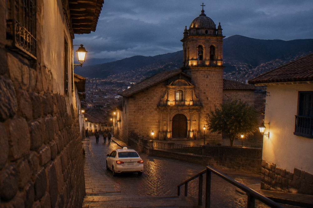
Pre-booked transfers are the fixed-price alternative. The featured transfer product on this page is a private airport transfer to centrally located hotels, a door-to-door service from the airport to central accommodation, and its live listing carries the current price and availability.
| Option | What it is | Where the price sits |
|---|---|---|
| Airport taxi | Taxi from the forecourt to the centre, 15 to 20 minutes | Reported at about S/ 15 to 25, agreed before the ride |
| Official city taxi | Street or radio taxi within the city | Agreed with the driver before the trip |
| Hotel transfer | Driver arranged by the hotel desk | Set by the hotel at booking |
| Pre-booked private transfer | Private door-to-door transfer booked before travel | Shown on the operator's live listing |
| Day tour with pickup | Group tour with hotel pickup included | Included in the tour price on the booking page |
How Do You Get To Sacsayhuaman And The Ruins Above Cusco?
The four Inca sites above the city, Sacsayhuaman, Q'enqo, Puka Pukara and Tambomachay, sit on the hillside north of the centre and are reached by taxi, by tour vehicle or on foot, with Sacsayhuaman at 3,701 m, higher than the Plaza de Armas. All four are covered by the Boleto Turistico's Circuit I, which COSITUC prices at S/ 70 and lists as valid for one day.
Sacsayhuaman stands at 3,701 m per the Wikipedia record for the site, and its hours run 07:00 to 18:00 per PromPeru. The site is on the Boleto Turistico Circuit I, alongside Q'enqo, Puka Pukara and Tambomachay, and COSITUC's tarifario prices each partial circuit at S/ 70 for foreign tourists, with the integral ticket at S/ 130 valid for 10 days. The full ticketing picture, including where the counter is on Av. El Sol, is on the Boleto Turistico page. The four ruins of Cusco guide covers the sites themselves.
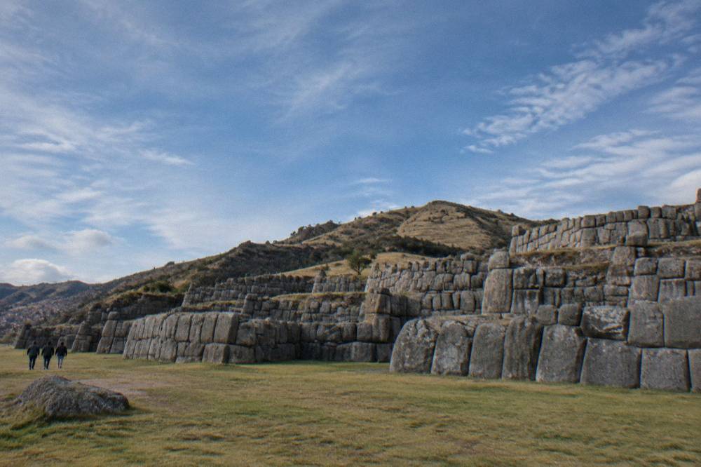
Three ways exist to cover the ridge. A taxi between sites, with the fare agreed per leg or for a waiting circuit. A half-day city tour, which the roster carries in several forms, including a half-day city tour with Sacsayhuaman and Q'enco and a four-ruins half-day city tour, both with hotel pickup and the transport handled. Or on foot: the climb from the centre to Sacsayhuaman is a real uphill walk, and the walking route is described on the walk from Cusco to Sacsayhuaman page. The MINCETUR open dataset recorded 944,008 visits to the Saqsaywaman explanada in 2025, which makes the ridge one of the most-visited sites in the department after Machu Picchu and Ollantaytambo.
| Ruin | Boleto circuit | Elevation where sourced |
|---|---|---|
| Sacsayhuaman | Circuit I | 3,701 m |
| Q'enqo | Circuit I | Not separately sourced |
| Puka Pukara | Circuit I | Not separately sourced |
| Tambomachay | Circuit I | Not separately sourced |
How Do You Travel From Cusco To The Sacred Valley And Ollantaytambo?
The Sacred Valley towns sit below Cusco on the road and rail network: Pisac at 2,972 m, Urubamba at 2,870 m and Ollantaytambo at 2,792 m, all lower than the city, and the standard ways there are a booked day tour, a taxi or a colectivo van, with any fare agreed before the ride. The train from Cusco to Ollantaytambo also runs, and PeruRail's news page records that train travel on the Cusco to Ollantaytambo section resumed from 1 September 2026.
The valley is the natural second layer of any Cusco trip, and it is also the altitude-relief layer: every main valley town sits lower than the Plaza de Armas. The Sacred Valley guide covers the towns, and the Cusco to Ollantaytambo page covers that specific corridor, including the road options and the train.
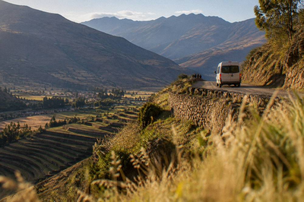
For transport, the practical choices divide by how much of the valley a day needs to cover. A full-day Sacred Valley tour handles Pisac, Ollantaytambo and the connecting road in one booked vehicle, with the driver and the route fixed; the roster's Sacred Valley Full Day Tour is the long-standing option, and its card carries the current price and availability. A half-day trip covers the closer cluster of Moray and the Maras salt mines, which sit at 3,385 m and 3,300 m respectively. Independent travel by taxi or colectivo is the flexible alternative, with fares agreed or shown before the ride rather than printed anywhere official.
| Valley destination | Elevation | Sourced from |
|---|---|---|
| Pisac | 2,972 m | Wikipedia record for the town |
| Urubamba | 2,870 m | Wikipedia record for the town |
| Ollantaytambo | 2,792 m | Wikipedia record for the town |
| Moray | 3,385 m | Wikipedia record for the site |
| Maras | 3,300 m | Wikipedia record for the town |
| Aguas Calientes | 2,040 m | Wikipedia record for the town |
Moray is on the Boleto Turistico's Circuit III alongside Pisac, Ollantaytambo and Chinchero, which is one reason a valley day and the ticketing question are worth settling together before leaving the city.
How Do The Trains To Machu Picchu Work From Cusco?
Two rail operators, PeruRail and Inca Rail, run trains toward Machu Picchu from the Cusco-side stations of Poroy and San Pedro, with PeruRail's own FAQ giving the journey times: San Pedro to Machu Picchu about 4 h 30, Poroy to Machu Picchu about 3 h 30, and Ollantaytambo to Machu Picchu about 1 h 45, with a taxi from the centre to San Pedro taking about 10 minutes and to Poroy about 20 minutes.
There is not one Cusco station, and that is the detail most first-time visitors miss. Poroy and San Pedro both exist, and PeruRail's FAQ lists both alongside Ollantaytambo and Aguas Calientes. In wet-season disruptions, when the Cusco-area track can be out of service, PeruRail uses a bimodal option: a bus from Cusco to Ollantaytambo, then the train from there. PeruRail's news page records that regular operations resumed on 24 August 2026 after the early-August landslides and forest fire, that Cusco to Ollantaytambo train travel resumed from 1 September 2026, and that 2027 ticket sales opened on 22 September 2026.
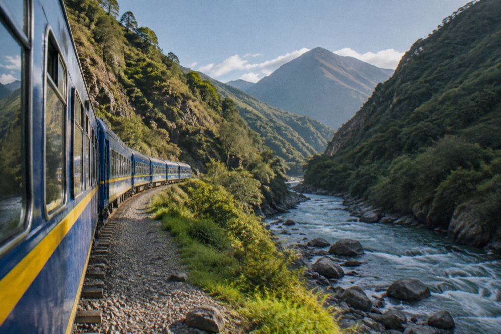
The citadel itself is lower than the city: Machu Picchu stands at 2,430 m and Aguas Calientes, the rail terminus town, at about 2,040 m, while Cusco sits at 3,335 m. That inversion, arriving in the mountains and descending to the famous site, is covered on the Machu Picchu page, which is this site's one page for the citadel.
| Rail leg | Journey time | Source |
|---|---|---|
| San Pedro to Machu Picchu | About 4 h 30 | PeruRail FAQ |
| Poroy to Machu Picchu | About 3 h 30 | PeruRail FAQ |
| Ollantaytambo to Machu Picchu | About 1 h 45 | PeruRail FAQ |
| Taxi, centre to San Pedro | About 10 min | PeruRail FAQ |
| Taxi, centre to Poroy | About 20 min | PeruRail FAQ |
Do You Need A Car In Cusco, Or Do Day Tours Cover The Region?
No visitor needs a car in Cusco itself, and for the region beyond, the choice is between independent travel by taxi and colectivo, with fares agreed before each ride, and booked day tours, which bundle the vehicle, the driver and often the meals into one price shown on the booking page. The mountain day trips, Rainbow Mountain at about 5,000 m and Humantay Lake at about 4,200 m, are almost always done as tours because of the distances and the early starts involved.
The mountain destinations explain why the tour market is so large here. Vinicunca, Rainbow Mountain, stands at about 5,000 m, with a community entry fee of S/ 25 to S/ 30 for foreigners paid in cash, per PromPeru and operator sources. Palccoyo, the lower-altitude alternative, sits at about 4,900 m at its viewpoint with a reported fee of about S/ 20 for foreigners, and the comparison between the two is set out on the Rainbow Mountain versus Palccoyo page. Humantay Lake sits at about 4,200 m, with entry fee sources disagreeing between S/ 10 and S/ 20. All of these are long road journeys from the city on roads where a booked vehicle and driver are the practical norm.
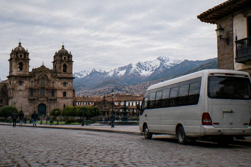
For the valley and the city layer, the roster carries tours at every scale, from the half-day city tours to full Sacred Valley days. The three below are the ones this page features for the transport decisions they settle: the airport transfer for arrival day, the street food walk for the city on foot, and the full Sacred Valley tour for the valley by road.
The Sacred Valley Full Day Tour is the roster's long-running valley option, running as a full-day group tour from Cusco into the Andean highlands, and its card carries the current price, rating and availability.
A note on driving yourself: the pack holds no sourced figure for driving distances beyond the Cusco to Puno bus route of about 389 km and about 6 hours, and no timetable or frequency for any valley road. What the sources do hold is the pattern: this is a region where the vehicle is usually someone else's problem, whether that is a tour driver, a taxi agreed by the hotel or a colectivo van with the fare settled at the door. For more on the whole region's practical layer, the Cusco travel tips guide collects the rest.
Common Questions About Getting Around Cusco
How Far Is Cusco Airport From The City Centre?
Alejandro Velasco Astete International Airport sits about 6 km from the Plaza de Armas, and a taxi covers the run in about 15 to 20 minutes, per PromPeru. The fare is reported at about S/ 15 to 25, agreed before the ride.
Is Cusco Walkable Without A Car?
Yes. The historic centre is a compact grid of steep stone streets around the Plaza de Armas at 3,335 m, and the main sights, the Cathedral, Qorikancha, San Pedro Market and San Blas, are all reached on foot. The CDC names Cusco as a rapid-ascent destination, so the pace is slower than at sea level.
Which Train Station Do Trains To Machu Picchu Leave From?
There is not one station. PeruRail's FAQ lists both Poroy and San Pedro on the Cusco side, plus Ollantaytambo and Aguas Calientes. San Pedro to Machu Picchu takes about 4 h 30 and Poroy about 3 h 30; in wet-season disruptions a bimodal bus-plus-train option via Ollantaytambo is used.
Do You Need A Ticket To Visit Sacsayhuaman?
Yes. Sacsayhuaman is on the Boleto Turistico's Circuit I, which COSITUC prices at S/ 70 for foreign tourists and lists as valid for one day. The integral ticket at S/ 130 covers all 16 sites and is valid for 10 days.
Can You Walk From Cusco To Sacsayhuaman?
Yes, it is an uphill walk from the centre to the site at 3,701 m, and the route is described on this site's walking page for the climb. A taxi or a half-day city tour are the alternatives, with the fare or the tour price settled before setting out.
Is The New Chinchero Airport Open Yet?
No. Reported progress stood at about 38.9 percent in mid-2026, with completion targeted for 2028 and flights expected in 2028 to 2029. Every Cusco flight currently uses Alejandro Velasco Astete International Airport.
The transport picture in Cusco reduces to three honest sentences: the centre is for walking, the ridge and the valley are for riding, and the train to Machu Picchu leaves from two Cusco-side stations with the fare shown on the operator's own page before purchase. Everything else, from the reported S/ 15 to 25 airport taxi to the one-day Circuit I boleto, is a figure an official source or a live listing holds, and this site's job is to point at it rather than guess at it. That is the approach Things To Do In Cusco Peru takes across every guide, and it is the right posture for a region where the rules, the fares and the timetables change more often than any static page admits.