Is Cusco A Walkable City?
A research-backed answer to whether Cusco, Peru, is a walkable city: the compact historic centre, the steep hills, the altitude at 3,335 m, and where a taxi or transfer is the better choice.
Cusco, the historic city in the Andes of southern Peru, is a city that visitors typically experience almost entirely on foot. The question is whether that experience is comfortable, safe and practical, and the honest answer depends on which part of the city and which season. The Plaza de Armas sits at 3,335 m, the streets around it climb quickly, and the dry-season nights drop close to freezing. What the official record shows is a compact, walkable core surrounded by hills that demand a slower pace.
Is Cusco A Walkable City?
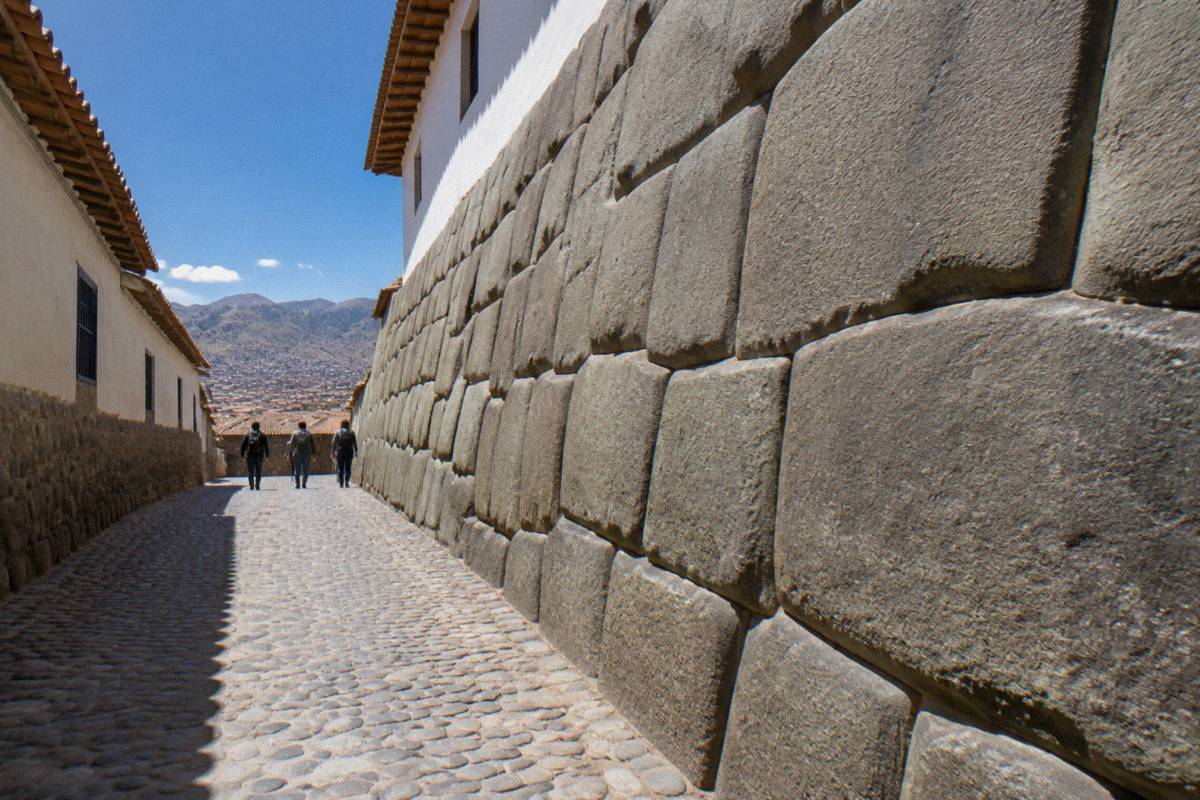
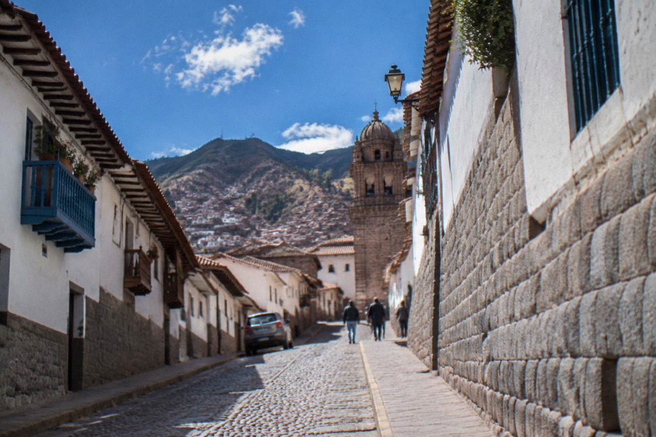
Yes, Cusco is a walkable city, in the sense that its historic centre is compact, dense and organised around streets that were laid out for pedestrians long before cars existed. Most of what a visitor comes to see, the Plaza de Armas, Qorikancha, San Pedro Market, the twelve-angled stone and the San Blas quarter, sits within a small area. But walkable here is a relative word: the centre is steep, cobbled and sits at 3,335 m, so distances are short and climbs are hard.
That is the honest framing. The City of Cusco was inscribed by UNESCO in 1983, and its historic centre is a dense grid of colonial churches standing on Inca stone foundations, threaded by lanes that in places are little wider than a doorway. Cars use many of these streets, and taxis are cheap and everywhere, but the geometry of the place rewards walking. The catch is altitude. The CDC Yellow Book names Cusco, at approximately 3,350 m by its measurement, as a rapid-ascent destination, which means a visitor flying in from sea level reaches this elevation in about an hour and a quarter from Lima.
The practical consequence is that walkability in Cusco is less about distance and more about gradient and oxygen. A street that reads as two blocks on a map can feel like far more on the way up. The CDC advises graded ascent where possible, and notes that in some cases travellers can descend to lower elevations to sleep before beginning an ascent, a strategy relevant to how a Cusco itinerary is sequenced. For more on that, see how likely altitude sickness is in Cusco.
How Steep Is The Historic Centre Of Cusco On Foot?
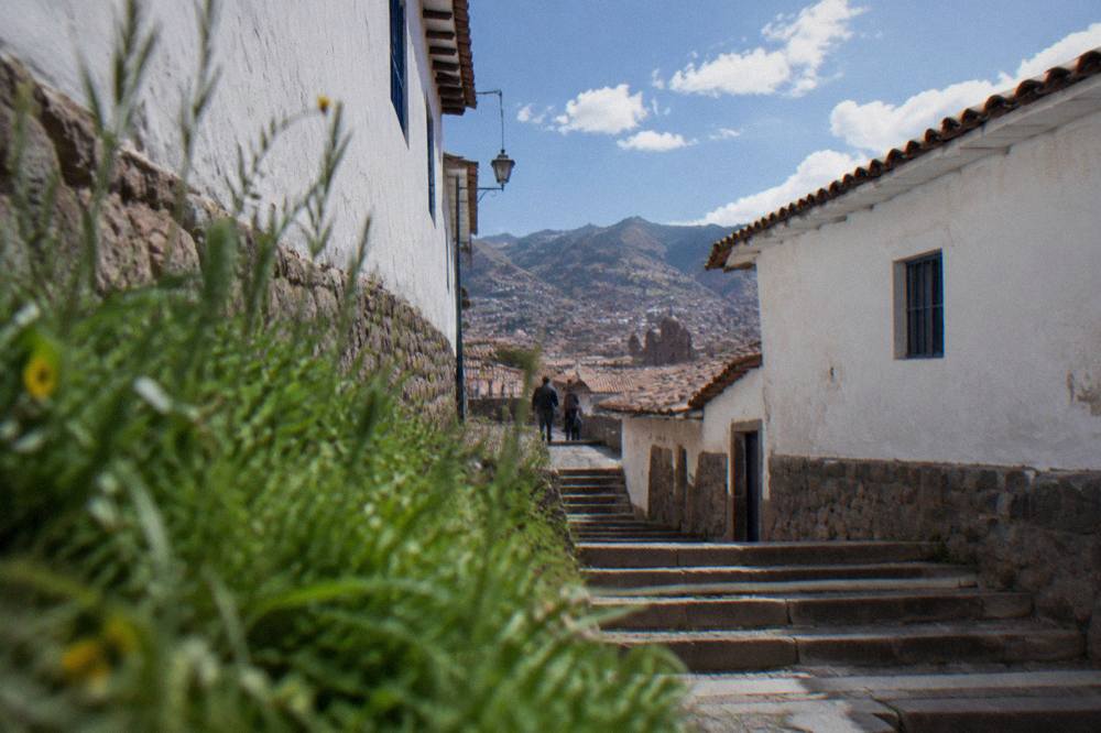
The historic centre of Cusco is genuinely steep, and the gradient is the single biggest factor in how walkable it feels. The Plaza de Armas sits at 3,335 m, the airport is lower at 3,310 m, and Sacsayhuaman above the city stands at 3,701 m, so the terrain rises several hundred metres from the river flats to the ridge. Streets such as the lanes up to San Blas and the stairs toward the viewpoints are short but relentless.
Cusco is built across a hillside basin, and the city's layout reflects that. The area around the Plaza de Armas is comparatively flat, which is one reason the square has served as the city's ceremonial and social centre since before the colonial period. Radiating out from it, the ground rises toward San Blas to the north-east and drops toward the Watanay river flats, then climbs again toward Sacsayhuaman on the ridge above.
The elevation figures in the table below come from PromPeru, OpenStreetMap, and Wikipedia: PromPeru gives the Plaza de Armas at 3,335 m, an OpenStreetMap record puts the airport at 3,310 m, and Wikipedia lists Sacsayhuaman at 3,701 m. Read together they describe the vertical range a walker in Cusco deals with without ever leaving the city.
| Point in or near Cusco | Elevation | Source in the verified record |
|---|---|---|
| Plaza de Armas | 3,335 m | PromPeru |
| Alejandro Velasco Astete airport | 3,310 m | OpenStreetMap record |
| Sacsayhuaman, above the city | 3,701 m | Wikipedia |
| Qorikancha museum | On Boleto Turistico Circuit II | COSITUC |
| San Pedro Market | In the historic centre, walkable from the Plaza | PromPeru city listing |
The stones underfoot matter as much as the slope. Cusco's historic streets are cobbled, and the Inca-era retaining walls that line them are made of finely fitted stone. In the wet season, roughly November to March, those cobbles are slick, and the WMO/SENAMHI historical normal for the "Cuzco" station shows December to March carrying 71.9 percent of the year's 707.8 mm of rain. Footwear advice follows from the data rather than from opinion, and the what not to wear in Cusco page covers it in detail.
Can You Walk Everywhere In Cusco Without A Taxi?
Within the historic centre, yes, walking covers almost everything a visitor needs, and taxis fill the gaps cheaply and quickly. The airport is about 6 km from the Plaza de Armas, a 15 to 20 minute taxi ride, with an airport taxi to the centre reported at about S/ 15 to 25. Beyond the centre, the Inca sites above the city, Sacsayhuaman, Q'enqo, Puka Pukara and Tambomachay, sit on a hill that most walkers reach by road rather than on foot.
The four ruins above the city are the classic case where walking and driving decisions diverge. They sit along a road that climbs from the edge of the historic centre toward Sacsayhuaman at 3,701 m, and the four ruins of Cusco page describes how visits are usually organised. Walking up is possible; the pack holds no sourced walking time for the climb, so this page states none. What the record does hold is that Sacsayhuaman is on the Boleto Turistico, Circuit I, so the walk or ride ends at a ticketed gate, not a free viewpoint.
For the arrival itself, the airport sits about 6 km from the Plaza de Armas, and a taxi takes 15 to 20 minutes. An airport taxi to the centre is reported at about S/ 15 to 25. A prebooked private transfer is the alternative many visitors choose on the first night, when the altitude is felt most and hauling luggage up a cobbled lane is at its least appealing. The rest of the planning pages sit on Things To Do In Cusco Peru.
Is Cusco Walkable At 3,335 Metres Of Altitude?
Cusco is walkable at altitude, but the altitude sets the pace rather than the distance. The CDC Yellow Book names Cusco as a rapid-ascent destination and advises graded ascent where it is feasible, and it notes that rates of altitude illness approach 50 percent in situations where travellers ascend abruptly by air or road without staged acclimatisation. Walkers should expect to move slower on climbs, rest when needed, and treat the first days gently.
That CDC figure deserves its exact wording. It applies to abrupt-ascent situations generally, not to every visitor to Cusco, and the CDC's practical advice is to consider acetazolamide as a prescription decision with a doctor, and to avoid alcohol for the first 48 hours at high altitude. The CDC also observes that in some cases, Cusco included, travellers can descend to elevations lower than the airport to sleep for a night or two and then begin their ascent. Nobody publishes a day count for acclimatisation, so this page gives none.
What the climate record adds is that the altitude is felt most at night, not at midday. Mean daily maximums at the WMO/SENAMHI "Cuzco" station stay between 18.8 and 20.9 C all year, which is mild walking weather in either season. The mean minimum in July is 0.1 C and in June 0.3 C, and SENAMHI's own tourist material records frost nights as common in June and July. A walker in the dry season experiences warm afternoons and near-freezing evenings, which argues for layering and for ending a walk before dark.
| Month | Mean max C | Mean min C | Rain mm |
|---|---|---|---|
| January (wet) | 18.9 | 6.6 | 145.3 |
| April (shoulder) | 19.7 | 4.9 | 43.2 |
| July (dry, winter) | 19.1 | 0.1 | 4.0 |
| October (dry, shoulder) | 20.9 | 5.5 | 39.4 |
The table is a historical normal supplied by SENAMHI to the World Weather Information Service, and it frames the walking year: dry and cold at night from May to September, mild and wet from November to March. The Cusco weather by month guide carries the full twelve months.
Where Are The Best Walkable Districts In Cusco?
The most walkable ground in Cusco is the flat band around the Plaza de Armas and the streets connecting it to San Pedro Market and Qorikancha, with the San Blas quarter walkable but uphill on every return leg. The historic centre as a whole, inscribed by UNESCO in 1983, is where nearly every walkable attraction sits. The modern districts beyond the centre are more spread out and less rewarding on foot.
The Plaza de Armas is the natural anchor. From it, Qorikancha sits a short level walk away, on Boleto Turistico Circuit II as the Museo de Sitio Qorikancha, and San Pedro Market lies within the same compact grid. San Blas sits uphill to the north-east, an artists' quarter of steep lanes that most walkers visit once going up and then decide how they feel about the return. The San Blas guide and the Cusco historic centre guide cover both areas in depth.
For a first-day plan that respects both the walkability and the altitude, the acclimatisation day guide sequences a gentle walking day, and the one day in Cusco itinerary fits the walkable core into a single visit. Visitors with more time can compare staying in Cusco or the Sacred Valley, since the valley's sites are spread along a road and are not a walking proposition.
The MINCETUR open dataset gives a sense of scale: the Saqsaywaman esplanade alone recorded 944,008 visits in 2025, and the Parque Arqueologico de Ollantaytambo, outside the city, recorded 891,526. Those are entries, not unique visitors, but they show that the walking core of the region carries visitor volumes comparable to Machu Picchu itself, which recorded 1,479,506 visits to the Inca citadel in the same year.
Common Questions About Walking In Cusco
Is Cusco a walkable city?
Yes. The historic centre is compact and pedestrian-scaled, with the Plaza de Armas, Qorikancha, San Pedro Market and San Blas all within a small area. The caveats are the steep cobbled lanes and the altitude at 3,335 m, which make climbs slower than their map distance suggests.
Is Cusco flat or hilly?
Hilly. The Plaza de Armas sits at 3,335 m and Sacsayhuaman on the ridge above the city at 3,701 m, so the terrain rises hundreds of metres across the urban basin. The flat band around the main square is the easiest walking ground.
Do you need a taxi in Cusco?
Not within the historic centre, but taxis are useful for the airport, about 6 km from the Plaza de Armas and a 15 to 20 minute ride, with an airport taxi to the centre reported at about S/ 15 to 25. Taxis also serve the Inca sites above the city on days when the climb is not appealing.
Is it hard to walk in Cusco because of the altitude?
The altitude makes walking slower, not impossible. The CDC Yellow Book names Cusco as a rapid-ascent destination and advises graded ascent where feasible; it also notes that rates of altitude illness approach 50 percent in abrupt-ascent situations where staged acclimatisation is not possible. Most walkers adjust their pace rather than abandon walking.
When is the best time of year for walking in Cusco?
The dry season, roughly May to September, brings the least rain, with May to August totalling just 22.8 mm across the whole period in the WMO/SENAMHI historical normal. Nights are cold then, with mean July minimums of 0.1 C. The wet season, November to March, carries most of the year's rain and slickens the cobbles.
Can you walk from Cusco to Sacsayhuaman?
Yes, the site sits on the hill directly above the city at 3,701 m, and the route climbs from the edge of the historic centre. The pack holds no sourced walking time for the climb, so none is stated here. Entry is on the Boleto Turistico, Circuit I.
The verdict, in the end, is that Cusco rewards walkers more than almost any city of its size, provided the walker respects the gradient, the cobbles and the thin air at 3,335 m, and lets the flat band around the Plaza de Armas do the heavy lifting on the first day or two.