Is Altitude Sickness Worse In Cusco Or Machu Picchu?
Cusco stands at 3,335 m, roughly 900 m above the Machu Picchu citadel at 2,430 m. The sourced elevations and the CDC Yellow Book's advice, compared.
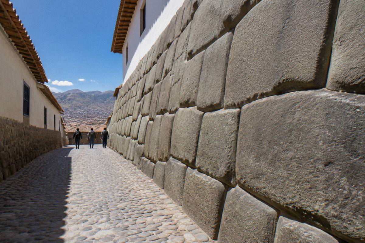
Cusco, the historic Inca capital in the Andes of southern Peru, holds its Plaza de Armas at 3,335 m above sea level. The Machu Picchu citadel sits roughly 900 m lower, at 2,430 m, on the figure the official Machu Picchu site publishes. That gap is the whole altitude argument in two numbers, and the sources behind them, from PromPeru to the CDC Yellow Book, all point the same way. This page compares the two elevations, the day trips that climb far above both, and the advice the CDC actually publishes, in the order a trip encounters them.
Is Altitude Sickness Worse In Cusco Or Machu Picchu?
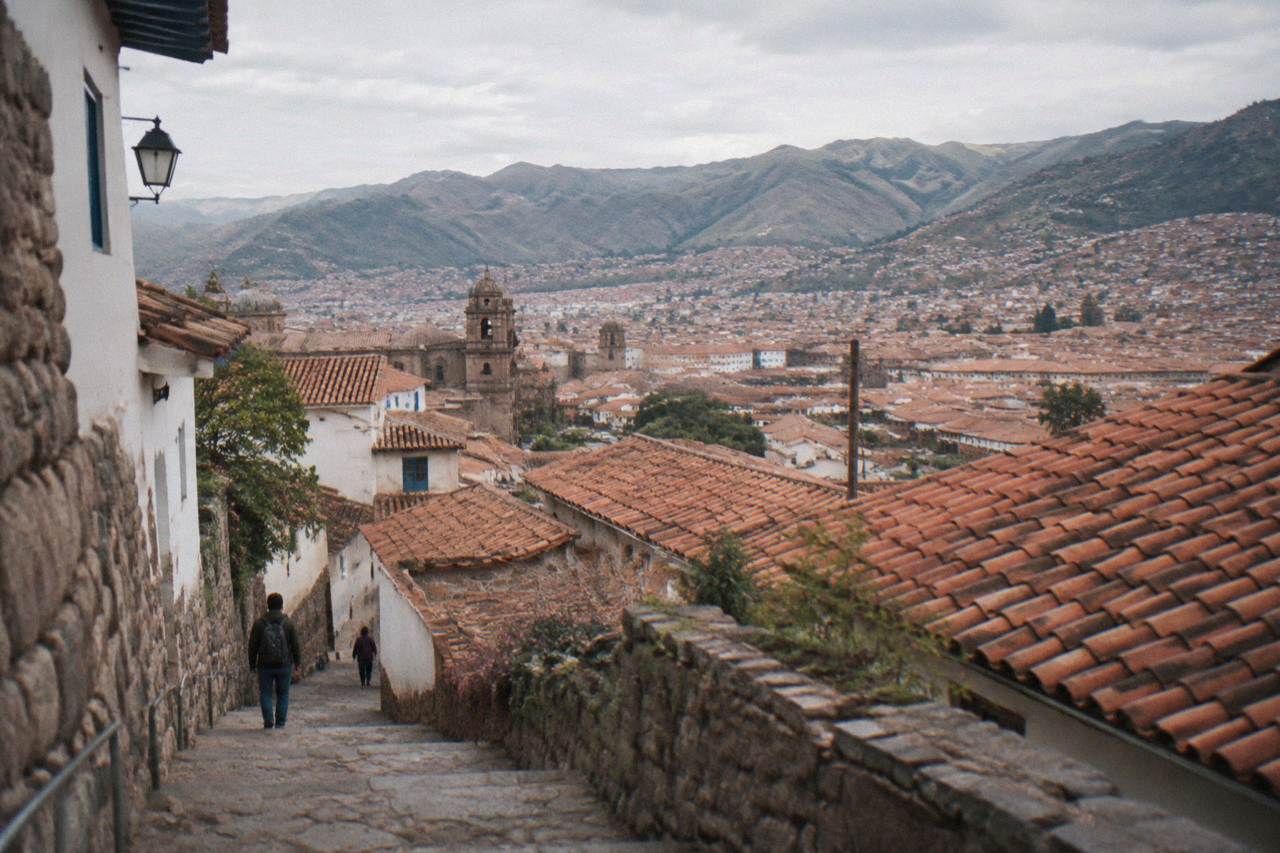
Cusco is the harder of the two for altitude. The Plaza de Armas stands at 3,335 m, roughly 900 m above the Machu Picchu citadel at 2,430 m, and the CDC Yellow Book names Cusco, not Machu Picchu, as a rapid-ascent destination. The citadel is high, but the city is where the air is thinnest and where the first nights are spent.
The citadel is not low country, and nothing here says otherwise. The CDC travel notice for Peru describes Machu Picchu as high altitude and tells travellers to talk to a doctor before going, and the town of Aguas Calientes below the site sits at about 2,040 m, which is still a mountain town by any lowland standard. The question is which of the two places asks more of a body that arrived from sea level, and on that question the numbers are not close.
The arrival shape settles it. Flights land at Cusco's Alejandro Velasco Astete airport at 3,310 m, about 6 km from the Plaza, so the trip begins at the top of its own elevation range and works downward from there. The Yellow Book's rapid-ascent framing exists precisely because the city is reached by air in a single morning, a jump rather than a climb. Machu Picchu, by contrast, is approached through a descent: by train down the valley, or on foot on trails that finish at the citadel's own altitude.
The bare elevation comparison has its own page on this site, Is Cusco higher than Machu Picchu, if the height question matters more than the sickness question. The rest of this page stays on the sickness question: how big the gap is, where the air is thinnest, and what the CDC says a traveller can do about it.
How Much Higher Is Cusco Than Machu Picchu?
Cusco's Plaza de Armas stands at 3,335 m and the Machu Picchu citadel at 2,430 m, a gap of roughly 900 m. The city's airport sits at 3,310 m, and the town of Aguas Calientes, the base below the citadel, lies at about 2,040 m. Every sourced figure in the comparison points the same way: the city is the high point of the standard trip.
PromPeru publishes the Plaza de Armas figure, the official Machu Picchu site publishes the citadel figure, and secondary references place Aguas Calientes at about 2,040 m. The table holds the four numbers that matter, plus the gap itself.
| Place | Elevation |
|---|---|
| Cusco, Plaza de Armas | 3,335 m |
| Cusco, Alejandro Velasco Astete airport | 3,310 m |
| Machu Picchu citadel | 2,430 m |
| Aguas Calientes (Machu Picchu Pueblo) | about 2,040 m |
| Gap, Plaza de Armas to citadel | roughly 900 m |
Two details in that table deserve a second look. The airport sits slightly below the Plaza, which means the thickest air of the arrival day is at the runway, not at the hotel, and the difference between them is small enough to be irrelevant to how a body feels. Aguas Calientes sits well below the citadel, and far below the city, so the sleep before a Machu Picchu morning happens at the lowest elevation of the entire trip.
That last point is the quiet advantage of the standard route. Whatever the city asks of a visitor on the first nights, the trip as a whole runs downhill from there, and the final sleep before the citadel is the lowest of all. The exception is the return: every standard itinerary ends by climbing back to Cusco, back to the same thin air the trip started in, which is worth remembering when planning the last night.
Where The Air Is Thinnest Around Cusco
The thinnest air on a Cusco trip is not in the city and not at Machu Picchu but on the day trips that climb out of the valley. Vinicunca, the Rainbow Mountain, stands about 5,000 m high, the Palccoyo viewpoint at 4,900 m, Humantay Lake at about 4,200 m and Sacsayhuaman at 3,701 m above the Plaza.
The day trips are the real altitude story of this region, and the sourced elevations make that plain. Peru.travel describes Vinicunca as over 5,000 m, with its highest point at approximately 5,200 m, and gives the Palccoyo viewpoint at 4,900 m. Humantay Lake sits at about 4,200 m on secondary figures, and Sacsayhuaman, the ruin directly above the city, stands at 3,701 m, higher than the Plaza it overlooks. Moray, on the Sacred Valley side, sits at 3,385 m, close to the city's own figure.
The pattern is consistent: the city is the ceiling of the standard itinerary, but the optional excursions punch far through it. Vinicunca also carries a community fee of S/ 25 to S/ 30 for foreign visitors, paid in cash, on top of whatever a tour costs, and the fee structure is one reason the mountain is usually sold as an organised day trip rather than an independent walk. The comparison between the two Rainbow Mountain routes, each with its own elevation, has its own treatment elsewhere on this site.
For anyone comparing the two headline places, the practical reading is this: the citadel visit itself is a descent from the city, while the day trips are the excursions that climb above everything. A trip that adds Vinicunca or Humantay to Cusco and Machu Picchu has a much wider altitude range than the two-name comparison suggests, and the widest single step is the one from the city to the mountain viewpoint, not the one from the city to the citadel.
What The CDC Yellow Book Says About Cusco Altitude
The CDC Yellow Book prefers a graded ascent and names Cusco as a rapid-ascent destination. The city's airport sits at 3,310 m, so arriving by air means landing high. Acetazolamide appears in the Yellow Book as a prophylaxis option at 125 mg twice daily, 250 mg twice daily for travellers over 100 kg, framed as a prescription decision with a doctor.
The Yellow Book's altitude illness chapter is the source to quote here, because it is the reference that actually names Cusco. Its three load-bearing points are a preference for graded ascent, the naming of Cusco as a place travellers reach rapidly, and a dosing table for acetazolamide that runs 125 mg twice daily for prophylaxis, 250 mg twice daily for travellers over 100 kg, and 250 mg twice daily for treatment. The book presents the drug as a prescription decision, and the CDC's own travel notice for Peru says the same thing in plainer words: Machu Picchu is at high altitude, talk to a doctor. More of these guides are collected on Things To Do In Cusco Peru.
What the sources do not say matters just as much. No official number exists for the likelihood of feeling ill at 3,335 m, for how many days acclimatisation takes, for the oxygen percentage at any of these elevations, or for how much a cup of coca tea changes any of it. Bodies differ, symptoms warrant a doctor, and any page that prints a precise probability for altitude sickness in Cusco is printing a number nobody publishes. The full treatment of the city's altitude, including the practical questions, sits in the full Cusco altitude guide, and the medication question has its own page, altitude pills for Cusco.
The reporting voice here is deliberate. This page quotes the CDC because the CDC is the authority worth quoting, not because a writer felt the thin air personally. Where the Yellow Book stops, this page stops with it.
How A Graded Route From Cusco To Machu Picchu Looks
A graded profile is hard to arrange on this route, because the flight lands at 3,310 m and the trip descends from there. The Sacred Valley towns sit lower than the city: Pisac at 2,972 m, Urubamba at 2,870 m and Ollantaytambo at 2,792 m, and Aguas Calientes lies at about 2,040 m below the citadel.
The Yellow Book's preferred tool, a graded ascent, assumes a traveller can gain altitude slowly. On the Cusco route the geometry runs the other way: the highest sleep of a standard trip is often the first one, in the city, and everything after it descends. The table shows the profile a typical itinerary walks through, in the order the elevations are actually met.
| Stop | Elevation | Role On The Route |
|---|---|---|
| Cusco | 3,335 m | Arrival city, highest sleep of the trip |
| Pisac | 2,972 m | Sacred Valley town and market |
| Urubamba | 2,870 m | Sacred Valley base |
| Ollantaytambo | 2,792 m | Valley town and rail stop |
| Aguas Calientes | about 2,040 m | Base town below the citadel |
| Machu Picchu citadel | 2,430 m | The site itself |
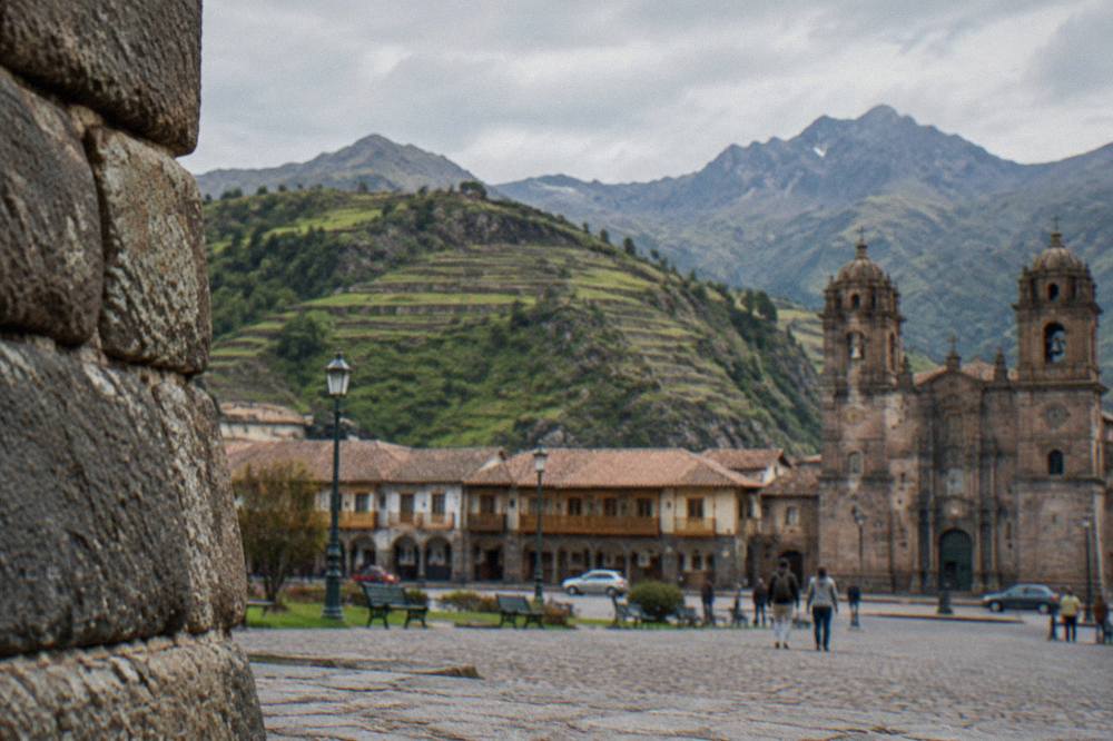
Read as a profile, the standard trip is a long, gentle descent with one spike at the start and one climb at the end. That is why the sleep-first question keeps coming up in planning: whether to head straight down to the valley on arrival day is an elevation question at heart, and it is argued out in full in sleep in Cusco or the Sacred Valley. The acclimatisation timetable is the other half of the same question, and since no official day count exists, how long acclimatisation takes is answered in the same reporting voice as this page.
The route profiles and elevation tables across Things To Do In Cusco Peru all draw from the same figures, so a reader comparing pages will not find two different numbers for the same place. The one caution worth adding: the return leg climbs back to 3,335 m, and a trip that ends with a flight out of the high airport finishes where it began, at the top of the range.
Does The Inca Trail Change The Altitude Picture?
The Inca Trail does not change the city's figure, but it changes the trip's shape: permits are sold only through licensed agencies, capped at 500 people a day including porters and guides, the trail closes every February, and the permit includes Machu Picchu entry. The trek still begins and ends around the same thin Andean air.
The trail's rules come from the Ministry of Culture, and they matter to the altitude question in one specific way: the permit includes Machu Picchu entry, so a trekker's citadel morning is covered by the same document that covers the walk. The trail itself closes every February, and the daily ceiling of 500 people, staff included, is a conservation limit rather than a comfort one. Machu Picchu's own entry tickets are a separate, ceded topic this site treats only in passing: tickets are nominal, valid only for the stated date, hour, circuit and holder, and a guide is recommended rather than mandatory under the current rules. The full treatment lives on the Machu Picchu day trip page.
The featured trek on this site is the Inca Trail 4-Day Trek to Machu Picchu, Return by Vistadome Train, and its listing carries the price, the rating and the dates a reader needs: Check availability. The Vistadome return matters to this page's question in a small way: the train ride out is a seated descent from the region's heights rather than another night at altitude.
The Lares Valley Trek with Hot Spring, 4-Day, 3-Night is the other listed walking option, a permitted alternative that finishes with a hot spring rather than a citadel gate, and its card sits below with its own figures.
Between the two, the altitude logic is the same: both routes spend their days high in the same Andean range, both finish lower than Cusco, and neither removes the city from the trip. A trekker still lands at 3,310 m, still sleeps at 3,335 m before the walk, and still climbs back to it afterwards. The choice between trails is a choice about days and scenery, not about thin air.
Common Questions About Cusco And Machu Picchu Altitude
Is Machu Picchu at high altitude?
Yes. The citadel stands at 2,430 m, and the CDC travel notice for Peru describes Machu Picchu as being at high altitude and advises talking to a doctor before visiting. It is, however, roughly 900 m lower than Cusco's Plaza de Armas, which is why the city and not the citadel is the rapid-ascent case in the CDC Yellow Book.
How likely is altitude sickness in Cusco?
No official probability figure exists, and this page does not invent one. What the sources do say is that the CDC Yellow Book names Cusco as a rapid-ascent destination, because the city is reached by air in a single morning. Bodies differ, and symptoms warrant a doctor. The full treatment of the question sits at how likely altitude sickness is on this site.
Do altitude pills help in Cusco?
Acetazolamide appears in the CDC Yellow Book as a prophylaxis option, at 125 mg twice daily, or 250 mg twice daily for travellers over 100 kg, with 250 mg twice daily listed for treatment. The Yellow Book frames it as a prescription decision to make with a doctor, not an over-the-counter choice. The medication question, including what the sources do and do not support, has its own page at altitude pills for Cusco.
How long does it take to acclimate to Cusco?
No official day count exists, and nobody publishes one. The CDC Yellow Book prefers graded ascent and names Cusco as a rapid-ascent destination, and beyond that the honest position is that bodies differ and symptoms warrant a doctor. The standard planning advice, taking the first days gently in the city before any high excursion, follows the same logic the Yellow Book states.
Is it better to sleep in the Sacred Valley before Machu Picchu?
The elevations are what drive the question: the Sacred Valley towns all sit below Cusco, with Ollantaytambo at 2,792 m, Urubamba at 2,870 m and Pisac at 2,972 m, and Aguas Calientes lower still at about 2,040 m. Sleeping lower on the first nights fits the graded approach the CDC Yellow Book prefers, though the flight still lands at 3,310 m either way. The full comparison, with both sides of the argument, is laid out in the sleep-in-Cusco-or-Sacred-Valley page linked above.