Is Cusco Higher Than Machu Picchu?
Cusco sits at 3,335 m and the Machu Picchu citadel at 2,430 m, so the city is roughly 900 m higher. What the gap means for altitude, sleep and itinerary order.
Cusco, the historic city in the Andes of southern Peru, sits at 3,335 m on the Plaza de Armas, and the Machu Picchu citadel at the end of the Sacred Valley sits at 2,430 m. The city is the higher of the two by roughly 900 m. On a map Machu Picchu looks like the summit of the journey, yet the airport, the hotels and the plaza all stand above the citadel, and the ground falls away almost continuously between them. The Ministry of Culture's own history page carries the citadel figure, PromPeru carries the plaza figure, and the CDC Yellow Book rounds the city to approximately 3,350 m. This page sets out what the gap means for altitude, sleep and itinerary order, using the official numbers.
Is Cusco Higher Than Machu Picchu?
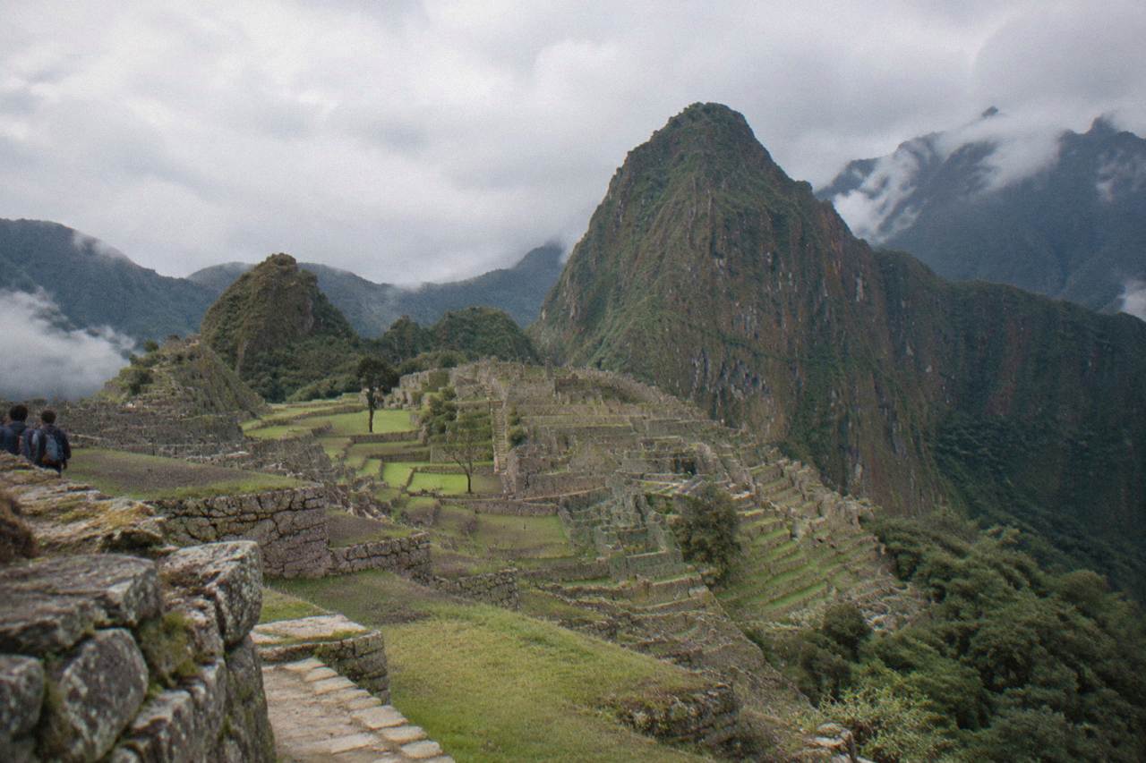
Yes. Cusco is higher than Machu Picchu by roughly 900 m. The Plaza de Armas, the historic centre of the city of Cusco in the southern Peruvian Andes, sits at 3,335 m, while the Ministry of Culture's own site places the Machu Picchu citadel at 2,430 m. The town below the citadel, Aguas Calientes, is lower still, at about 2,040 m.
PromPeru, the country's tourism promotion body, lists the Plaza de Armas at 3,335 m. The Ministry of Culture's Machu Picchu page gives the citadel at 2,430 m. The CDC Yellow Book, in its high-altitude chapter, rounds Cusco to approximately 3,350 m and treats it as a place travellers reach abruptly by air. Three official sources, one direction of travel: the city stands above the citadel.
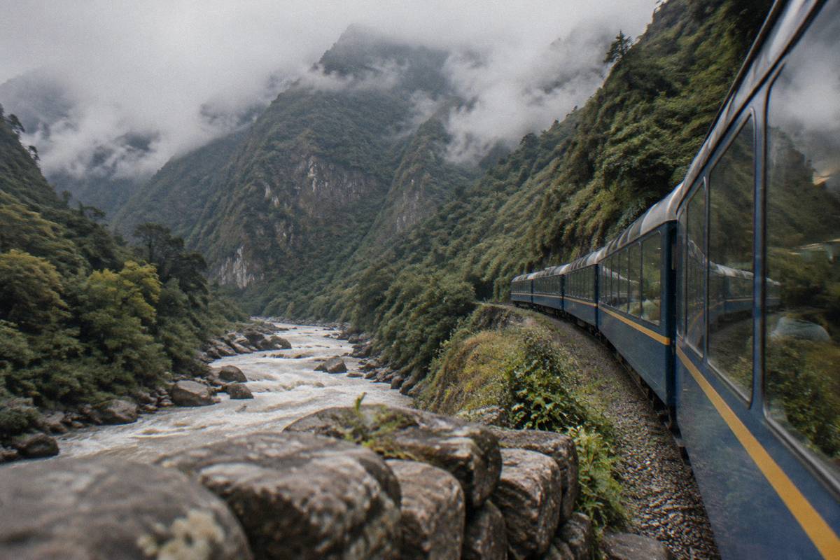
One confusion is worth heading off early. The 2,430 m figure belongs to the citadel, not to the town below it. Aguas Calientes, also called Machu Picchu Pueblo, sits at about 2,040 m down by the river, where the stations and most of the accommodation are. A listing that quotes a single altitude for "Machu Picchu" may be quoting either. The citadel stands above the town, and Cusco stands above both.
Both places entered the UNESCO World Heritage List in 1983, the citadel as a Historic Sanctuary on 9 December of that year and the city in the same year. The shared year is where the symmetry ends. On elevation the two are nearly a kilometre apart, and nearly every standard route between them runs downhill.
How The Elevations Stack Up From Cusco To Machu Picchu
The route from Cusco down to Machu Picchu is a descent almost the whole way. Cusco's airport sits at 3,310 m and the Plaza de Armas at 3,335 m, the Sacred Valley towns of Pisac, Urubamba and Ollantaytambo sit at 2,972 m, 2,870 m and 2,792 m, and the citadel itself is at 2,430 m. Only Sacsayhuaman, at 3,701 m, stands above the city.
The head-to-head numbers look like this:
| Place | Elevation | Where the figure comes from |
|---|---|---|
| Cusco, Plaza de Armas | 3,335 m | PromPeru |
| Cusco, Alejandro Velasco Astete airport | 3,310 m | OpenStreetMap record for the airport |
| Machu Picchu citadel | 2,430 m | Ministry of Culture's Machu Picchu site |
| Aguas Calientes (Machu Picchu Pueblo) | about 2,040 m | Secondary references for the town |
| Gap, Plaza de Armas to citadel | roughly 900 m | The two figures above |
The pattern is consistent. The airport sits slightly lower than the plaza, Sacsayhuaman on the hill above the centre is the one nearby site above the city, and from there the ground falls away through the Sacred Valley toward the citadel. Pisac, Urubamba and Ollantaytambo, the three valley towns on most route descriptions, all sit below 3,000 m. Nothing on the standard path climbs back above the city after the bus leaves the centre.
That slope shapes how the trip is sold. Operators build the descent for you: a multi-day trek that walks into Machu Picchu on the Inca Trail, a full-day group visit to the citadel from Cusco, and a short walking tour of the historic centre for the first, thin-air day in the city.
Each of those products ends lower than it starts, which is the quiet advantage of this corridor. The elevation question is not whether the trip climbs to Machu Picchu; it is how gently the body handles the one genuinely high sleeping point, which is Cusco itself.
Does The Altitude Difference Change How You Feel At Each Place?
The CDC Yellow Book treats Cusco as a rapid-ascent destination and prefers a graded ascent, so the city is where the altitude question bites, not Machu Picchu. Flying in from Lima takes about one hour and fifteen minutes and lands the traveller at about 3,350 m, from which the standard itinerary only descends, through the Sacred Valley toward the citadel at 2,430 m and the town below it at about 2,040 m.
The Yellow Book's ascent rules are specific. It advises against going from low altitude to a sleeping altitude of 2,750 m or more in a single day, and once above 3,000 m it suggests raising the sleeping altitude by no more than 500 m per night, with an extra night for every 1,000 m gained. It puts rates of altitude illness as approaching half in situations where a traveller ascends abruptly by air or road and staged acclimatisation is not feasible. Cusco appears in the Yellow Book as exactly that kind of destination.
The same chapter notes that in some cases, and it names Cusco directly, travellers can descend to elevations lower than the airport to sleep for a night or two and then begin their ascent, which may remove the need for medication. It also advises avoiding alcohol for the first 48 hours at high altitude. On medication, the Yellow Book lists acetazolamide at 125 mg twice daily, or 250 mg twice daily for travellers over 100 kg, as an option to speed acclimatisation when abrupt ascent is unavoidable; it is a prescription decision with a doctor, not something to arrange alone.
No official source publishes a day count for acclimatisation, and bodies differ; symptoms warrant a doctor rather than a wait-and-see. The CDC's Level 1 travel notice for Peru adds that Machu Picchu itself is at high altitude and that travellers should talk to a doctor before going. For a fuller treatment of the odds and the symptoms, the sibling pages on how likely altitude sickness is and on altitude at Cusco versus Machu Picchu go deeper.
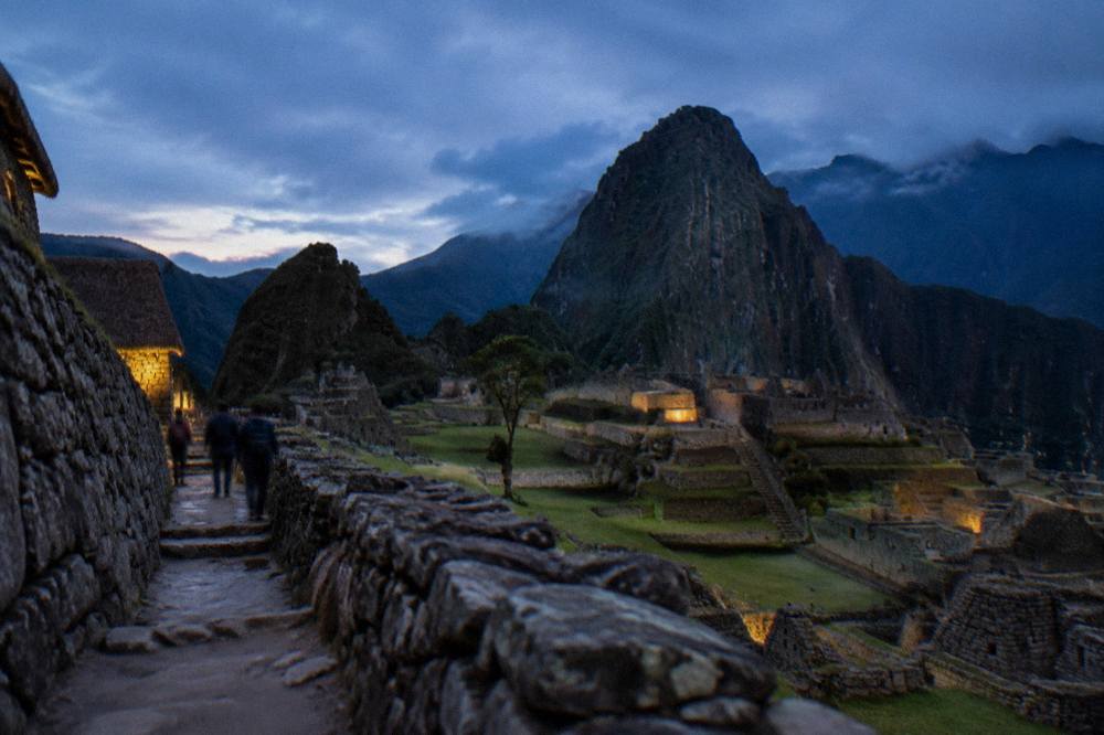
For a traveller who wants the citadel handled end to end, a guided day visit from Cusco is the simplest way to cover the descent in one move.
Should You Acclimatise In Cusco Before Heading Down To Machu Picchu?
Yes, and the elevation numbers explain why. The CDC Yellow Book advises a graded ascent wherever it is feasible, names Cusco as a rapid-ascent destination, and notes that travellers can descend to lower elevations to sleep for a night or two before climbing again. Starting in Cusco at 3,335 m, then dropping through the Sacred Valley toward Machu Picchu at 2,430 m, follows that downhill logic.
The descent logic is why route descriptions start in the city and run downhill. A first stretch in Cusco, with nothing more strenuous than the plaza, the markets and the museums, is followed by a drop into the Sacred Valley, where Pisac, Urubamba and Ollantaytambo all sit below 3,000 m. Where to sleep, the city or the valley, is its own question, covered in the page on Cusco or the Sacred Valley. Sacsayhuaman, at 3,701 m, is the one site above the city, and the walk up to it is the steepest ordinary stroll in the centre.
The Inca Trail is the walking exception to the downhill rule. Permits are capped at 500 people a day, porters and guides included, sold only through licensed agencies, and the trail closes every February; the permit includes Machu Picchu entry. The Inca Trail 4-Day Trek to Machu Picchu with a Vistadome return, this site's featured trek for this question, is one such licensed-agency product, finishing at the citadel rather than above it: Check availability.
The Things To Do In Cusco Peru itinerary pages lay out the downhill order day by day, and the question of how long to acclimate is answered there in the same reporting voice, with the same caveat that no official body publishes a day count.
How Should The Height Gap Shape Your Cusco And Machu Picchu Itinerary?
Because Cusco stands roughly 900 m above Machu Picchu, the classic route runs downhill: city first, then the Sacred Valley towns of Pisac, Urubamba and Ollantaytambo, then the citadel at 2,430 m and the town of Aguas Calientes at about 2,040 m. Trekkers invert the arrival, walking in over several days on trails such as the Inca Trail, whose permit includes Machu Picchu entry.
The order matters less than the sleeping altitude. A schedule that sleeps in Cusco first, then lower, matches the CDC's preference for gentle gain and gives the body its easiest path. The full route is laid out in a Cusco and Machu Picchu itinerary, and the citadel itself has one dedicated page on this site, the Machu Picchu day trip guide. On the rail leg, PeruRail's own FAQ gives the journey from Cusco's San Pedro station at about four and a half hours and the Ollantaytambo leg at about one hour and forty-five minutes; the elevation point stands regardless of the train question.
The wider region puts the two headline elevations in context:
| Place | Elevation | Position relative to Cusco |
|---|---|---|
| Sacsayhuaman | 3,701 m | above the city |
| Moray | 3,385 m | marginally above the Plaza de Armas |
| Maras | 3,300 m | just below the Plaza de Armas |
| Pisac | 2,972 m | below the city |
| Urubamba | 2,870 m | below the city |
| Ollantaytambo | 2,792 m | below the city |
| Humantay Lake | about 4,200 m | well above the city |
| Palccoyo viewpoint | 4,900 m | well above both |
| Rainbow Mountain (Vinicunca) | about 5,000 m | the highest listed point |
The table also explains why the mountain day trips feel different from the valley trips. Humantay Lake, the Palccoyo viewpoint and Rainbow Mountain all sit far above the city, let alone the citadel, and they are where the altitude question gets sharp rather than gentle. The valley towns, by contrast, are the mild end of the region.
None of those changes touches the elevation facts, which come from geography rather than policy. What they change is the paperwork on the day: the ticket, the circuit and the hour are fixed at purchase, so the low end of the trip deserves the same early booking attention as the high end.
Common Questions About Cusco And Machu Picchu Elevations
Is Cusco higher than Machu Picchu?
Yes. The Plaza de Armas in Cusco sits at 3,335 m and the Machu Picchu citadel at 2,430 m, a gap of roughly 900 m. PromPeru publishes the plaza figure and the Ministry of Culture's site the citadel figure. The town of Aguas Calientes below the citadel is lower still, at about 2,040 m.
Is Machu Picchu at 2,430 m the same as Aguas Calientes?
No. The 2,430 m figure belongs to the citadel. Aguas Calientes, the town also called Machu Picchu Pueblo, sits at about 2,040 m by the river, with the stations and most of the accommodation. The citadel stands above the town.
Is anything around Cusco higher than the city?
Yes. Sacsayhuaman, the site on the hill above the centre, is at 3,701 m, and the mountain day trips climb much higher: Humantay Lake at about 4,200 m, the Palccoyo viewpoint at 4,900 m and Rainbow Mountain at about 5,000 m.
Does the CDC recommend medication for the Cusco altitude?
The CDC Yellow Book prefers a graded ascent and names Cusco as a rapid-ascent destination. It lists acetazolamide at 125 mg twice daily, or 250 mg twice daily for travellers over 100 kg, as an option to speed acclimatisation when abrupt ascent is unavoidable, and frames it as a prescription decision with a doctor. It also advises avoiding alcohol for the first 48 hours at high altitude.
Is Cusco the same place as Machu Picchu?
No. Cusco is the regional capital, a city at 3,335 m with the airport and the 16 sites of the Boleto Turistico. Machu Picchu is the citadel at 2,430 m at the end of the Sacred Valley, roughly 900 m below the city, sold on the Ministry of Culture's own ticket platform and not covered by the Boleto.